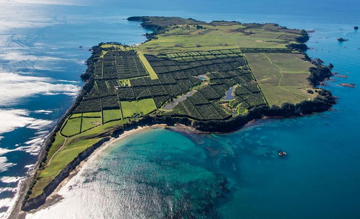
Located 22 kms from Tauranga Harbour entrance, in the open sea with no shelter from the prevailing conditions. The area often has currents sweeping across it. The reef breaks the surface and then slopes down to 50+ metres. The reef itself covers a large area.
The MV Rena grounded on Astrolabe reef in October 2011. Much work to clear the superstructure was done and it no longer breaks the surface. The wreck occupies the south-east corner of the reef. Portions of it can be found from 8 metres, with the top side of the main hull starting at 20m and sloping off to 30m. The bottom of the main hull is at around 50 metres.
In good conditions this is a great site. Water is clearer and fish often gather in large schools. The rocks and weeds shelter plenty of life including nudibranchs, octopus and crayfish. There are several crevasses, slots, walls and tunnels to dive on.
Watch: https://www.facebook.com/396350670416265/videos/1436380306413291
Dive Sites
Many of our regular dive sites fall within the area of the Motiti Protection Area (MPA). This came into effect in August 2021. It is not permitted to take marine life from the three areas making up the Motiti Protection Area. Anchoring is permitted as long as the guidelines are followed. See the Bay of Plenty Regional Council website for more information: https://www.boprc.govt.nz/our-projects/motiti-protection-area
Our popular dive sites within the MPA: Ōtaiti (Astrolabe Reef) / Rena Wreck, Motuhaku Island (Schooner Rocks), O karapu (Okaparu) Reef, Motunau (Plate Island) / Tokoroa Shoals
Our popular Dive sites outside the MPA: Motiti Island, Taioma Wreck, Tuhua (Mayor Island)
Other sites less commonly visited: Karewa Island, Taupo wreck, Pudney Rock, Penguin Shoal
Our popular dive sites within the MPA


ŌTAITI (ASTROLABE REEF) / MV RENA WRECK


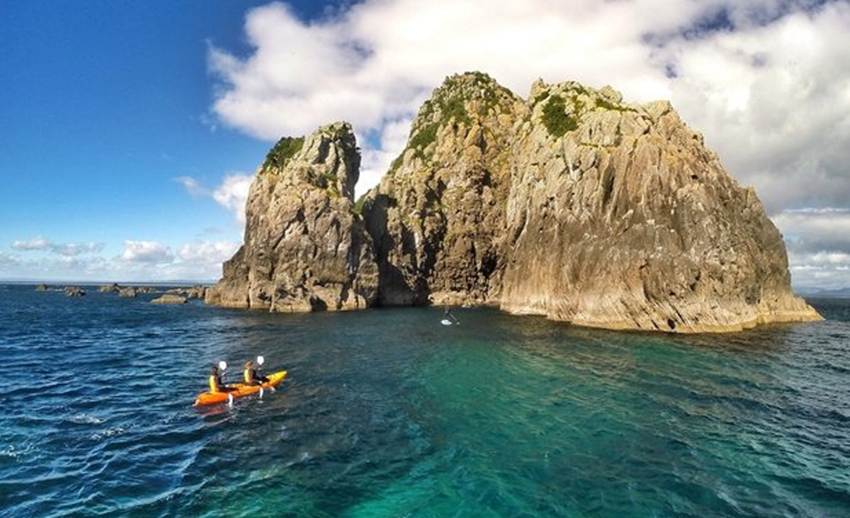
MOTUHAKU ISLAND (SCHOONER ROCKS)

A large area of rocks and reef systems. The island provides some shelter, but anchorage is best only on the eastern end where a rock shelf slopes away.
Keel Rock and other rocks on the northern section of the protection area come up to a couple of metres below the surface. Current can also affect this area.
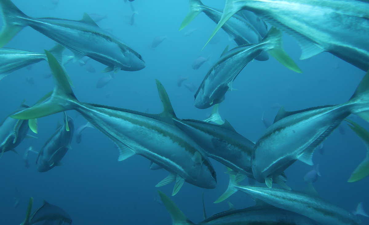
This dive site often has large schools of bait fish, kahawai and resident reef species. At times rays are also known to congregate here. The visibility is generally good. The rocks and reef systems contain plenty of life including nudibranchs, octopus and crayfish.


Okaparu Reef

A site in the open sea with no shelter from conditions prevailing wind or sea. The area is less prone to current sweeping across it. The reef top is 5 metres below the surface and bare of weed. There is north and south reef with a small 20 metre gap between them. A tunnel can be found on the northern reef, starting in the gap. The reef has many guts and crags dropping to 20+ metres and sloping down to 40+ metres. Often schooling fish can be seen. The rocks and weeds shelter plenty of life including nudibranchs, octopus and crayfish.

MOTUNAU (PLATE ISLAND) / TOKOROA SHOALS

This area consists of three dive sites. The island itself, Motunau Patch to the south and Tokoroa Shoal to the west. The island is surrounded by variable terrain. The western side has a quiet bay, often with seals in residence. The southern end has a shallow area great for snorkelling. The eastern side is a little deeper with a flat featureless bottom and the northern end has a series of rocks and pinnacles that can be a bit surgy at times. The different areas are quite small so diving can be a bit restricted for larger groups, but fish life and the opportunity to dive with seals makes the site worth the trip. The outlying reef systems don’t break the surface, but both have shallow points of around 5-6 metres. Crays etc can be found in the cracks and holes. Often these reefs attract schools of fish including Kingfish, Koheru and Demoiselles.


MOTITI ISLAND

This large island is made up of many small bays and is surrounded by shallow reefs so offers diving in most conditions. This makes it our most frequented dive location. The northern end is open to the open ocean and has the clearer water but is also exposed to more swell and current. The bays have sandy bottoms, with the headlands giving varied rocks and pinnacles to dive on.
The western side has two different areas. The top half is made up of bays and has more variable depths with a few reefs further offshore. The southern half has less variation in the depth of terrain, so you need to dive beneath the kelp forest.
The eastern side has several bays and headlands where rocks rise up to catch out the unwary boater. The southern end is a large bay with a sandy bottom and shallow reef systems ideal for snorkelling.
Matatapu Rock (Black Rocks) offer good fishy dives but can be exposed to currents.


TAIOMA WRECK

Resting in 27 metres of water off the south eastern end of Motiti, this upright complete wreck is a great dive.
The Taioma was deliberately prepared sunk here and rests upright on a cradle. The wreck has been prepared for divers so those with suitable experience can easily enter and exit the boat. The outside is covered in sponges and anemones with many fish living in the protection is provides. Octopus can often be in their lairs surrounded by empty scallop and other shells.
At times, the visibility on this dive site can be affected by the proximity to the Kaituna River outflow.
The club does a special dive on this site around March each year to commemorate its sinking.


MAYOR ISLAND / TUHUA

Located 35kms from Tauranga Harbour entrance, Tuhua/Mayor Island offers many magnificent dive sites. The protected Marine Reserve at the northern end has some spectacular spots. Visibility at Mayor Island is often the best we get in the entire Bay of Plenty area. As the island is located so far from the mainland, it’s not a site we get to regularly but in good conditions the effort is worth it. The club usually sets aside one or two weekends a year specially for trips to Tuhua – although finding a suitable charter boat is becoming difficult to find.

KAREWA ISLAND AND THE ‘TAUPO’ WRECK

Seldom visited by the club as the dive sites are somewhat exposed and small. The western side of Karewa is large smooth boulders and cliffs without much kelp growth. The rest of the island has better diving terrain and kelp growth.
The Taupo wreck lies a bit further west from Karewa, in 30-metres. The moving sands can at times cover most of the wreck, leaving just the boiler protruding or exposing the remaining ribs and keel of the boat.

PUDNEY ROCK

A lone rock situated approximately 10 nautical miles northeast of the harbour entrance. Rises from 55m to around 20m. Seldom visited by the club.

PENGUIN SHOAL

An open water site located halfway to Mayor Island. A deep reef that rises from 80 metres to within 12 metres of the surface. Subject to strong currents, making encounters with pelagic fish common. Seldom visited by the club.
